Real-Estate Virtual Tour
Walk a completed house in 3D, remotely — New Kitusuru.
Open demo ↗

Phone and drone mapping, from the basic to the agentic — every layer rendered live, controlled in real time.
01 · The Stack
Phone and drone mapping for things as basic as real-estate virtual touring to as complex as agricultural health and growth-stage monitoring, construction and its resources management, drainage infrastructure planning and iteration, automated compliance design iteration, live 3D scene reconstruction — and human life detection on live drone feed for search-and-rescue response.
One interactive UI, AI-assisted — agentic control and manipulation of web-based or offline 3D environments, in real time.
02 · Demos
Plantation segmentation, disease-outbreak and growth-stage detection from the air.
Demo coming soonProgress milestones compared to material usage, in tonnes, in your account.
Open demo ↗Plan and iterate drainage layouts against live terrain and contour data.
Demo coming soonAgentic design iteration kept inside internal compliance guardrails.
Demo coming soonDrone and phone capture rebuilt into real-time 3D environments.
Open demo ↗AI detection on live drone feed for search-and-rescue response.
Demo coming soonInteractive UI with AI that agentically controls and manipulates 3D environments in real time.
Demo coming soonOur computer vision models are exposed as APIs — detection, segmentation and scene queries your own systems can call.
Demo coming soonLive demos are marked; the rest ship as the suite matures.
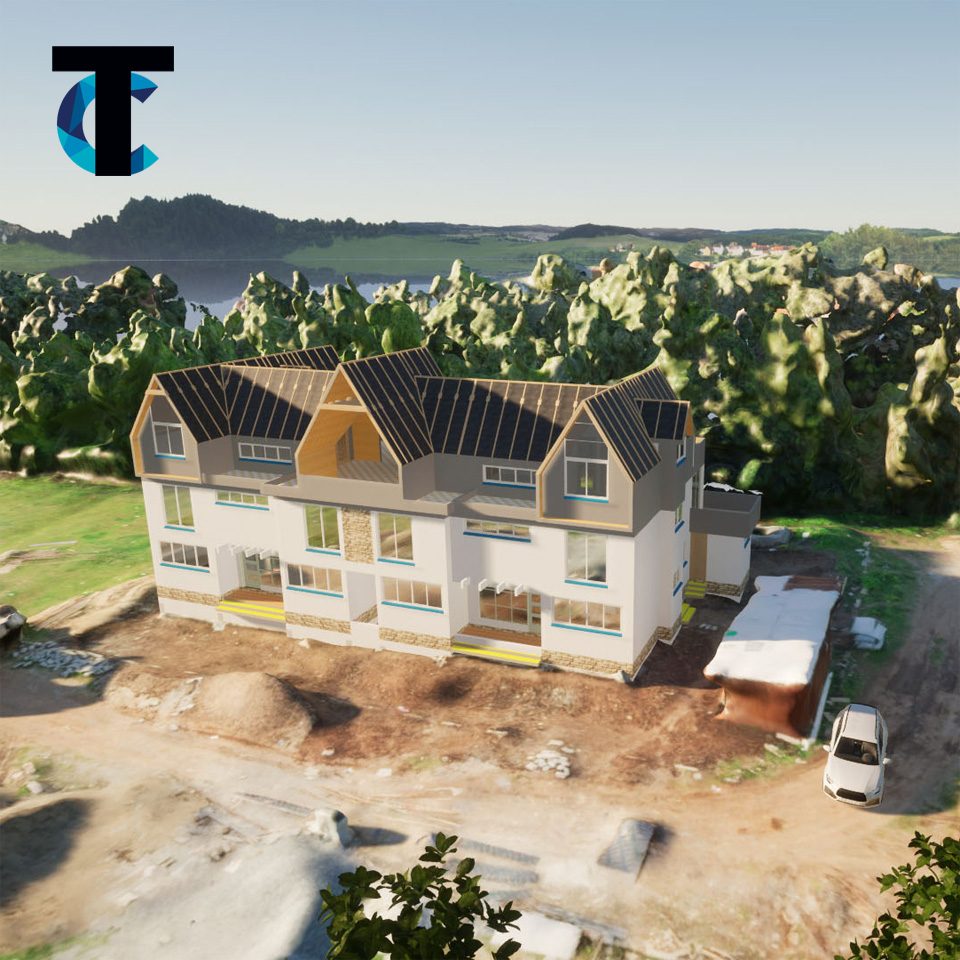
Reconstruction
Every frame of a drone pass and every phone scan is folded into a live model — measured, annotated and comparable, week over week.
The Company
Proprietary spatial engines built around one idea: that a site should be measurable, visible and comparable — from a phone in your pocket to a drone in the sky. Robust against poor data acquisition, and it holds up at night capture.